
Day 31 – 21 miles to Vic-sur-Seille
(Tue 29th. No data connection tonight – it says “H+”, whatever that means. What it does mean is that when you try to upload a picture it fails).
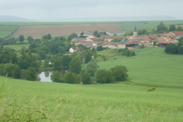
A similar day to yesterday, perhaps a bit more road and a bit less forest.
My damp sleeping bag didn’t get worse overnight. Actually felt a bit drier. Although this may be because by morning it was warm and damp, rather than being cold and damp.
Weather a mixed bag. Cloudy all morning, with the odd spot of rain. The afternoon did rain. However by camp the sun was out – and the sleeping bag dried nicely with an hour and a half in the sun.
Same can’t be said for my feet, which are in a constant sate of wet.
Scenery nothing spectacular as we head east. But pleasant enough.
Today was that navigation was more engaging. Required a bit of concentration to keep check of all the twists and turns. Makes the day go faster.
One issue was in the forest. Clearly forest work trumps footpaths. In one mile section trees had been felled and left – trunks, branches everything – across the path.
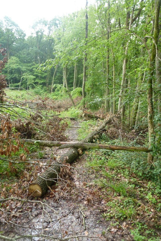
Like an assault course! At one point there was no way over or through the mess, so had to go round. Involved traversing a muddy slope above the tree trunk. As I was doing it I knew the outcome, but there was no viable alternative. So I traversed, and as expected slid on the mud. Result a wet backside and muddy shorts.
Tonight was a campsite, so managed to clean up.
